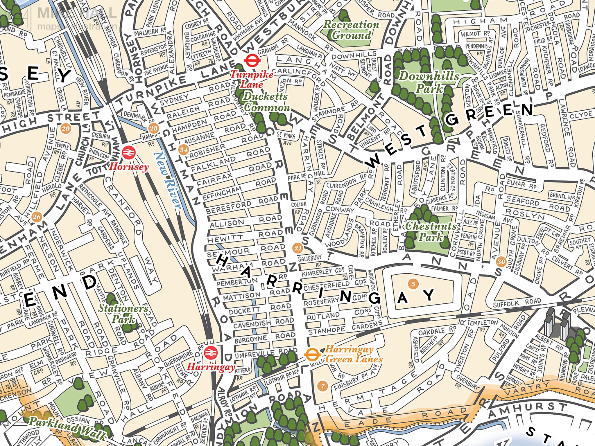
This is an original illustrated map of Haringey, a borough of London, UK, inspired by decorative antique map prints and entirely hand-drawn and digitally coloured.
Its decoration scheme references the area's rich diversity, culture and history. The coat of arms at the top centre of the design is the official arms of the borough, is flanked by shields representing (from left to right): the old county of Middlesex, of which the present area of Haringey was part of for centuries; and the old boroughs of Hornsey, Wood Green and Tottenham, which were merged to form Haringey in 1965. The two illustrations along the bottom show views of Alexandra Palace and Bruce Castle Museum, two prominent landmarks in the borough. The border decoration is inspired by the architectural motifs that decorate the facade of Alexandra Palace.
- High quality digital giclee print on archival paper
- Available in three size variations: choose from the menu above
- Signed in pencil by the artist, with a stamp of authenticity on the rear
- Open edition - printed to order
- Frame NOT included
Carefully packaged and delivered in a firm cardboard tube.